Strathblane Circular Walk, Stirlingshire
Views, new plants and a lunchtime dip
We have a bit of an ongoing joke between us that when I choose the route we end up without a footpath and when Peter chooses the route it is much longer than intended. As it was a hot day in July Peter chose this Strathblane Circular route because he didn't want to do a long walk. All I can say is that it was a good thing we took plenty of water and a pack-up!
This walk is easy to follow on the OS Explorer Map 348 as it follows the John Muir Way, West Highland Way and retunrs on a well-marked track known locally as the 'pipe track.'
John Muir Way
We parked the car by the church at the junction of the A891 and A81 and crossed the A81 to pick up the John Muir Way going through some houses and along a lane past some riding stables.
The John Muir Way is a coast to coast route through Central Scotland between Helensburgh in the west and Dunbar in the east. The route is 134 miles and provides good access for walkers and cyclists to explore both beautiful scenery and the industrial history of the area. We pick up different sections on many of our adventures.
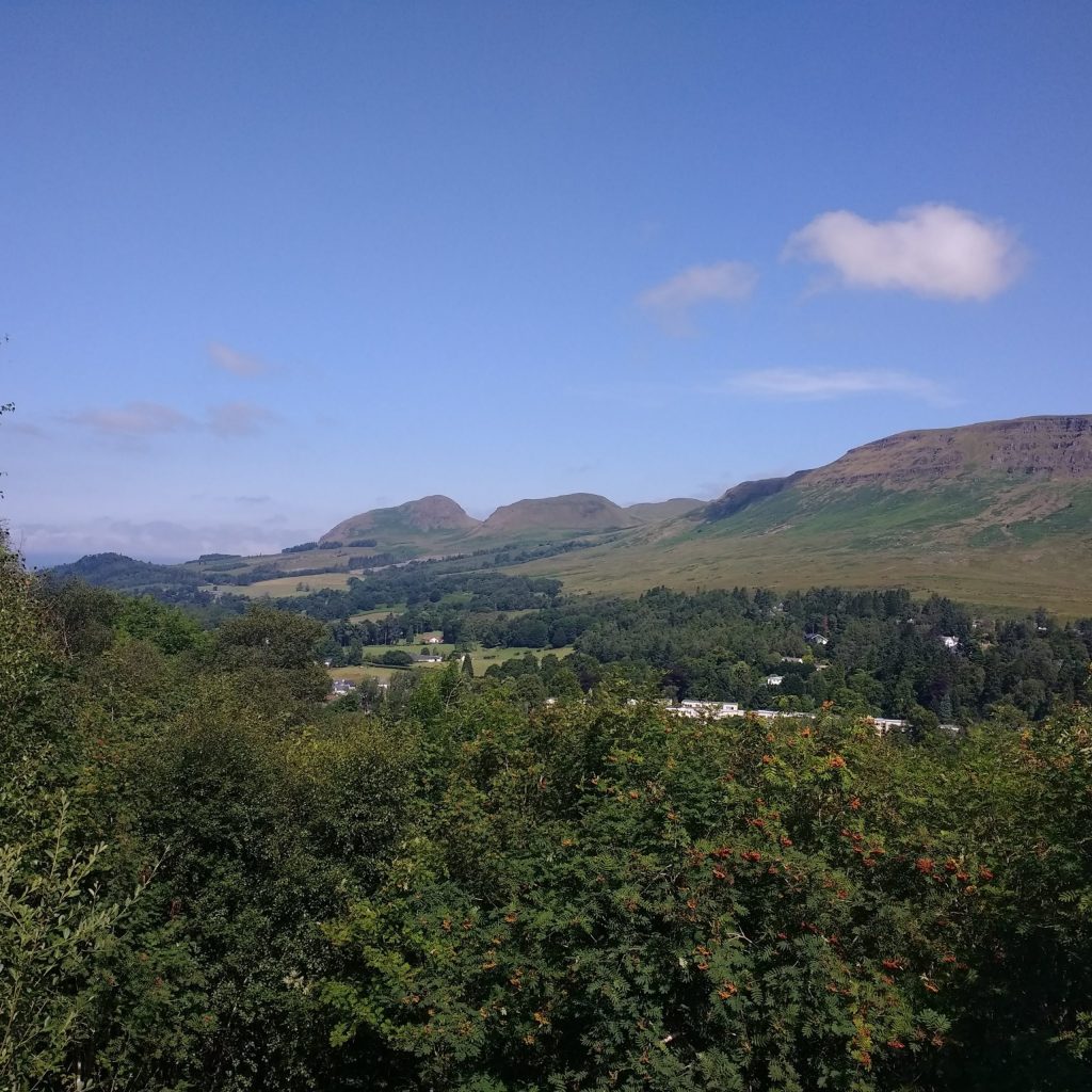
After the riding stables follow the JMW signs up a hill and into the woodland. I was very excited to see my first ever marsh helleborines, they are a beautiful tall orchid and grew quite profusely in this woodland. As the hill levels off there are some well-placed benches providing excellent views across the Campsie Fells towards the prominent Dumgoyne.
Keep on following the JMW and don't miss the sharp right hand turn that takes you downhill to a B road. You join the West Highland Way at this point and the two routes run together for several kilometres at this point. Turn left on to the road and you will see Carbeth Loch on your left. We decided to detour down the track here and had our lunch break and a little swim (it was quite weedy). We were highly entertained by an aggressive mute swan who took a dislike to a Canada Goose on the loch, chasing it away from the cygnets with much gusto!
Glengoyne Distillery
Back on the road and the route is waymarked to the right. Follow the track through open land, there are plenty of flowers along this part of the route and we were pleased to see a stonechat. The path takes you behind the interesting wooded hill of Dumgoyach and then sharp right to Dumgoyach bridge where the WHW/JMW picks up the old railway. Look out for wild raspberry canes, meadowsweet and wild roses in the verges.
Keep along the old railway until you see the Glengoyne Distillery on your right. Follow the public footpath to this picturesque distillery and cross the A81 taking the footpath up the hill to the right of the distillery. We found this quite a steep pull on a hot day and were pleased that the circular walk took us back along the track to the right and not up the steep sides of Dumgoyne.
Pipetrack
This track is called the pipetrack as it follows the route of the pipe that brings water from Loch Katrine to reservoirs that serve Glasgow. It gives access along its length (Blanefield to Killearn) to the pipe for maintenance and you can see various Victorian engineering along the route.
The path is straightforward back to Strathblane, just remembering to keep left at a fork above Craigbrock farm where you go on a bit of an uphill loop. (We picked a lot of raspberries here on the sout facing slope and took them home for tea). There are a number of gates across the cobbled track which eventually becomes the tarmacced Campsie Dean Road taking you in to Blanefield. At the junction with the A81 cross the road and follow the pavement back to the start.
Summary: an excellent nature-filled walk, even if was longer than anticipated!


Distance: 13.5 km (9 miles)
Difficulty: Medium
Terrain: Good tracks throughout
- marsh helleborines
- common spotted orchid
- meadowsweet
- wild raspberries
- stonechat
- mute swan
- common blue damselflies

