Circular Route near Stirling
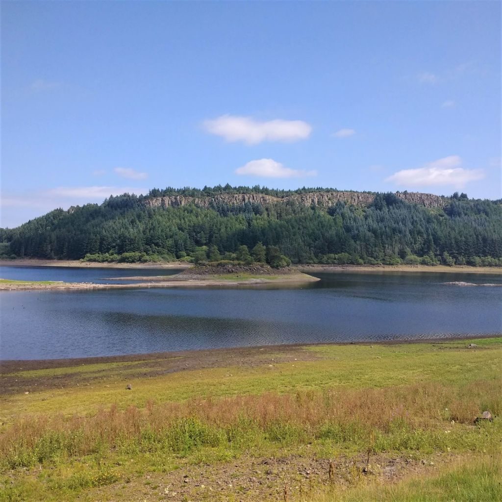
Sauchie Crags and North Third Reservoir.
This is a short but spectacular circular route close to Stirling which has a variety of habitat, including spectacular cliffs, mixed woodland and banks of North Third Reservoir. It is one of the routes recommended in the book Scottish Trail Running, which I have previously reviewed. As it was a warm July afternoon we chose to walk it, but intend to go back when it is cooler as it will be an excellent trail running route.
We parked the car in a lay-by as advised in the book (Grid ref: NS758 879) and followed the path that is to the left of the forest track that is blocked with boulders. I have put that bit in italics as we went up the forest track into the plantation and ran out of path - the wear and tear indicates that this is a regular error!
Scottish Flora
Once on the correct route there is quite a steep climb through the woods and on to the cliffs. The vegetation here was a delight of typical Scottish flowers; harebells, bell heather, hawkbit, bilberry and knapweed. There were also some butterflies (2021 seems to have been a particularly bad year for butterflies, so any have been noteworthy) including a fritillary. I could not get close enough to identify it, but I suspect it was a small pearl-bordered fritillary as they seem to be the most likely in the area. As we climbed up the crags we stopped for lunch on one of the many rocky outcrops giving views across the reservoir. The path was easy to follow along the tops and soon dropped down through the woodland into Windy Yet Glen, which we followed downhill, following a path that took us over the dam of the reservoir.
Sadly on this part of the walk the disadvantage of being so close to the motorway became clear as there was quite a lot of rubbish - disposable bbqs, bottles etc along the shoreline. We didn't have any binbag with us so were unable to do any clearing. Furthermore the reservoir was very low and the well inhabited by Canada geese, so there was an awful lot of bird poo too. Needless to say we were not tempted to a swim.
Bannock Burn
There were quite a lot of people on the shore having picnics and enjoying the summer's day and I am sure this part of the walk looks better on a sunny winter day when the loch has more water in it. We followed the path along the shoreline right around to the burn which feeds the loch - the famous Bannock Burn - and had a fabulous view of a redshank, which may have bred in the fields and been feeding on the lochside. We then followed the burn up to the road and turned left back to the car.
This was a very pleasant afternoon walk, just a shame about the littering.
Distance: 5 km
Difficulty: Medium
Terrain: All good tracks
- jay
- redshank
- Canada geese
- harebells
- bell heather
- fritillary butterflies


Nice review Sam & Peter.
Thanks Alan, maybe we need to come over and write about Indonesia