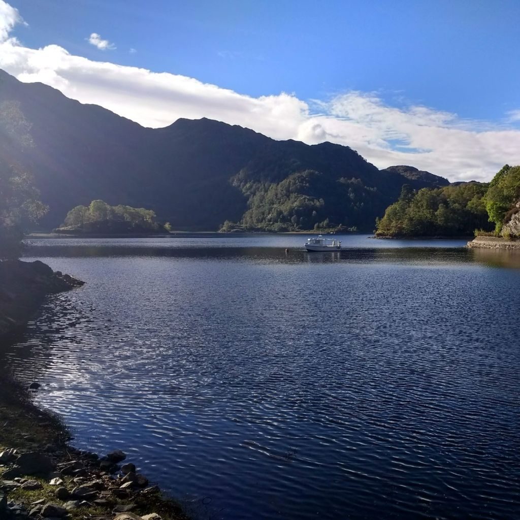
Stunning Loch Katrine Route
It was one of those gorgeous autumn days when we just had to make the most of the weather, so we left the office and set off for a return trip to Loch Katrine. Last time we had been there had been a drizzly, grey day in June and although we enjoyed a good walk with friends, seeing roe deer, pearl-bordered fritillary butterflies and orchids, we thought we would like to see it in the sunshine.
This time we decided we were going to do a run – knowing that most of the route around Loch Katrine was on tarmac and that the weather had been generally dry, we wore our road shoes.
I had researched that there was a nice circular route, the Brenachoile Trail, from Loch Katrine Pier. As I thought it was about 4 miles, we decided to park in a pull-in on the road overlooking Loch Ard to add a bit on. Although it probably adds about 2 miles to the route it is really worth it, because you pick up a lovely bit of trail from the Ben Venue car park, giving a really good warm up. This track twists through birch trees and then drops down over a boardwalk taking you through the lovely smelling bog myrtle. You come out on the road before the Pier and as you go across the car park you get your first view of Loch Katrine.
If you were to design a lake for a film set I am pretty sure this is what you would come up with! Loch Katrine has beautiful mountains dropping into its depth and it is dotted with wooded islands. It is not surprising that it inspired many poets, including Sir Walter Scott, Samuel Coleridge and William Wordsworth - the alpine style pier and the steam boat takes you back to a different era.
It is therefore perhaps not the best place to go for a run as you just want to take photos all the time – it looks equally stunning in the sunshine or the rain. Take the tarmac path along the north side of the loch and enjoy the undulating road. Loch Katrine supplies water to Glasgow and is fed by additional water from Glen Finglas Reservoir – it is worth a short detour off the road to have a look at the engineering where this feed comes into the loch. The trail we were following goes in a loop, so you will see a waymarker go up the hill after the feed, I would recommend you ignore this and keep on the road to complete the loop anti-clockwise.
You eventually arrive at Brenachoile peninsular, which is a perfect spot for a picnic or a few selfies, with stunning views across the loch in both directions. If you think you recognize the peninsular, you may be right - it is one of the many locations in the area to have featured in Outlander.
From the peninsular you keep going on the road past some houses, by this time we realized that the route was somewhat further than 4 miles as we had already covered approx. 3 miles from the pier and had not yet reached the furthest point. We were very pleased to have a further excuse for a stop when Peter spotted a shrew on the side of the road – it was so intent on feeding that it didn’t take any notice of us and I was even able to get a video of it!
We were soon at the turn, with the waymarkers sending us up a steep path through the trees. This was a single track trail path that just kept going up and up. It seemed to wind up the hillside forever – each time you thought you had reached the level there was another hairpin bend taking us higher. Obviously I had to stop to take photos of the views – it was nothing whatever to do with me being out of breath. What goes up must come down, (eventually) and we finally turned right and downhill onto a double-track. This was the start of a very welcome gentle, long descent which was a joy to run down. After possibly a km the path turned sharply downhill giving a final steep and muddy descent back onto the lochside road, where we turned left and back to the start.
Distance: 14 km
Difficulty: Medium (steep hill)
Terrain: Mixed tarmac and trail
Well signposted
Bog Myrtle
Roe Deer
Canada geese
Shrew
Bilberry


