Kelso Circular Route
Views, Viaducts and a Famous Junction.
A lovely late winter morning saw us setting off for a trail run with a friend on this Kelso circular route. Once again we had seen the route in the "Borders 40 best walks" book, however we did it in the reverse direction. Due to flooding en route we also had to adapt and did a couple of detours.
We parked in the Abbey car park and walked past the Abbey (currently closed) and then over the Tweed, taking in views in both directions. From the bridge you can see the Junction Pool - one of the most famous salmon fishing beats in the country - where the River Teviot joins the Tweed. We came to know the Teviot very well on this run!
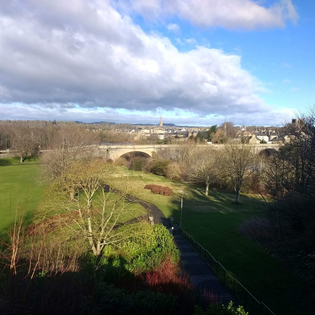
From the bridge go up the hill on the downstream side of the river. The hill is quite steep, so obviously we had to have a breather at the viewpoint and look over the town!
Wallaceneuk parkrun route
Continue up the hill, crossing the road at the garage and taking the road up to the right. Pass the old cottage hospital and a housing estate, still climbing, and eventually you will see a footpath marked on your right. Follow this path along the old railway line.
This path is now very familiar to us as it is the route of Wallaceneuk parkrun, now our local. This is also the reason we decided to do the route clockwise - the parkrun is an out and back and we know from experience that the 'back' bit is very slightly uphill. This is enough of a slog at the end of a 5k, let alone towards the end of a 10k!
For obvious reasons this stretch of the route was perfect for trailrunning and we got to the regular turnaround point in seemingly no time. This time however, instead of turning round we kept going, bearing slightly right to the viaduct.
Usually there is also a footbridge across the Teviot at this point, however that is currently under repair, so the viaduct was the only way to cross.
Roxburgh
We enjoyed the view of the river from the viaduct and then descended into the village of Roxburgh, bearing right along the road. If you are walking, the bench here is a good place to stop for lunch, with the added interest of an information board in the bus shelter. We were running so kept going, turning right after the bus shelter to follow the Abbeys Way footpath sign. This took us down a very muddy path, giving spectacular views of the viaduct.
From here you follow the Borders Abbey Way back to Kelso. Unfortunately for us this was not as easy as it sounds because quite a lot of the route is next to the river. After all the rain, however, the water level was very high, so quite a bit o the path was underwater. We had to detour up into adjacent fields and eventually we had to climb a steep bank to join the main road as the path close to Kelso was impassable. This bank was next to the ancient ramparts of Roxburgh Castle, built in the early 12th century.
Friars Haugh
Coming out directly onto the main road with no footpath we decided to err on the safe side and crossed over the road taking the path down to the Tweed. This gave spectacular views of Floors Castle and the junction pool. This area is Friars Haugh, the location of the point-to-point course and was all set up for the spring meetings. Kelso also has a National Hunt racecourse at the other side of town. We could have turned right inside Friars Haugh, which would have saved us quite a large loop, but er would have missed the close-up turbulence of where the two rivers met.
Cross the river Teviot at the road bridge and follow Tweed back towards Kelso bridge.
It is to our great embarassment that we had not been to Roxburgh before, despite living in the Scottish Borders previously for 10 years. Worse still, I spent a summer living on the banks of the Teviot and had never explored this area - I had no idea there was such a stunning bridge.
This Kelso circular route was an excellent one for running, but also good for walking as there is plenty of interest on the route. We will be back when we can get all the way along the riverbank and not do the extra loop.
Distance: 13.7 km
Difficulty: Medium
Terrain: Mostly good track - muddy after rain and paths can be flooded
Easy to navigate with good signposting


